Go to main content
Under Antartica

Science

Mapping the ice

First kite-ski expedition in the service of polar science

A glaciologist and an explorer join forces to map the Antarctic subsurface using ground-penetrating radar on a continent-crossing trip.

Our radars will be towed behind our sleds and will operate continuously throughout the expedition. They will allow us not only to explore areas that have never been studied before, but also to connect the few regions that have already been mapped — an essential task for better understanding the dynamics of Antarctic ice and harmonizing existing data.

Traditionally, scientific missions in Antarctica rely on the use of tractors, snow groomers, or snowmobiles — vehicles that consume that burn huge amounts of fuel and require the setup of fuel depots.

This expedition will be the first radar transect done by kite-ski, opening the door to a new, more sustainable way of doing science in polar regions.

On the ice sheet, Heïdi kneels in the snow, smiling at the camera. She wears a bright orange jacket, a helmet, and ski goggles, with an expedition harness around her waist. In front of her lies an open scientific case connected to a long bright yellow cable stretching across the ice to another box in the distance. The light highlights the whiteness of the landscape and the positive energy of the moment.

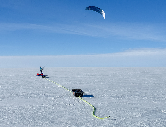
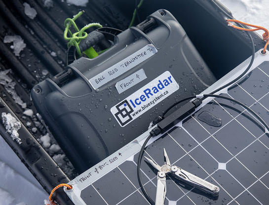
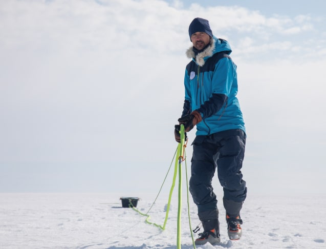
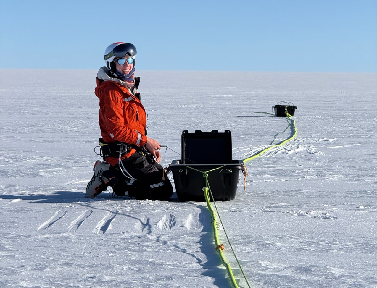
Mission:Antarctica is our past, our present, and our future

By studying the ice in Antarctica, we gain critical insights into Earth's climate system—knowledge essential for developing effective strategies to protect biodiversity, mitigate climate change, and adapt to its global impacts.

On the ice sheet, Matthieu moves forward using a snowkite, pulled by a large blue and white kite soaring in the sky. Behind him, he tows a red pulka and two black scientific radar units connected by a bright yellow cable winding across the ice. The scene captures both the athletic and scientific aspects of the expedition: Matthieu harnesses the wind to travel while conducting geophysical measurements. The horizon is perfectly clear under the bright polar light.

Radar:When the wind paves the way for knowledge

Pulled by kites, two ground-penetrating radars will map both ancient and recent ice layers during a continuous east-to-west crossing.

Close-up of the expedition's scientific equipment. Inside a black sled lies a dark grey case labeled IceRadar – Blue System, used for measuring ice thickness. Handwritten labels indicate its position on the sled and its role as a “transmitter.” A solar panel rests on top, connected by a power cable, with a stainless-steel multitool placed nearby. Drops of ice and condensation highlight the freezing conditions.

Data:Revealing the invisible beneath the ice

Ground-penetrating radar can reveal subglacial lakes and rivers, bedrock topography, and snow accumulation on the surface of the ice sheet.

Matthieu walks across the ice sheet, pulling a bright fluorescent rope attached to a black sled carrying scientific equipment. He wears a blue jacket, dark beanie, leather gloves, and ski boots. The sky is clear and the soft, angled light highlights the snow's texture. The scene captures both the physical effort and focus required to move through the polar environment.

Climate:Predict tomorrow through today's ice.

This ground-breaking data will enable us to better understand how Antarctica has reacted to natural temperature variations in the past, in order to better predict Antarctica's future contribution to sea-level rise.

Science | Under Antarctica Expedition